
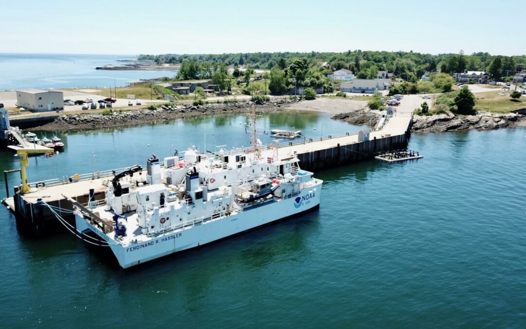
From National Oceanographic and Atmospheric Administration: NOAA Ship Ferdinand R. Hassler and its crew of 14 have returned to their homeport in New Castle, New Hampshire following a successful 18 month hydrographic survey mission.
Ferdinand R. Hassler, a state-of-the-art coastal mapping vessel, conducted detailed seafloor mapping in the waters surrounding Cape Fear, North Carolina and the Elizabeth River, Virginia. The ship also recently began a new charting mission in the Gulf of Maine. This mission is part of NOAA’s ongoing efforts to update nautical charts and improve maritime safety in U.S. coastal waters as well as to study the coral habitat within the Gulf of Maine.
During the deployment, the ship’s crew of NOAA Corps officers and professional mariners used advanced sonar technology to create high-resolution maps of the seafloor. These surveys are crucial for identifying potential hazards to navigation, such as shoals, wrecks, and other obstructions. The ship’s mission also contributes to a better understanding of the marine environment, providing valuable data for fisheries habitat mapping, coastal management, and scientific research.
The ship is equipped with the latest hydrographic technology. Its twin hull design enables the simultaneous use of two multibeam sonar systems, which allows for efficient data collection in shallow waters. It also has a 27-foot survey boat that is deployable for nearshore mapping.
With the ship’s return to New Castle, the crew will process and analyze the collected data. This information will be used to update NOAA’s nautical charts and other navigational products, ensuring safer and more efficient maritime operations for commercial shipping, fishing and recreational boating along the coast. The current project, mapping in the Gulf of Maine, will be followed by a project on the southern coast of Long Island with the goal of supporting the economy through improved navigational safety and habitat mapping.
 Return to the Concord Monitor